Evan Miles takes part in research to map and assess thousands of co-seismic and post-seismic landslides.
Knowing where the landslides are is very useful for policymakers to be able to assess ongoing hazards and plan rebuilding.
Evan Miles
The 2015 Nepal earthquake which led to the death of around 9,000 people and caused widespread damage initiated fewer landslides than similar seismic events and could have been much worse, according to research released by geologists and glacier experts.
They hope the study, which includes extensive supplementary material detailing specific hazards, will contribute to a greater understanding of landslides and earthquake-related hazards.
The group of 64 scientists from nine countries voluntarily came together after the earthquake in April to study the impact of the 7.8 magnitude earthquake which struck in the Gorkha District of Nepal on 25 April. They were concerned that it could lead to destructive glacier lake outburst floods as a result of landslides triggered by the earthquake.
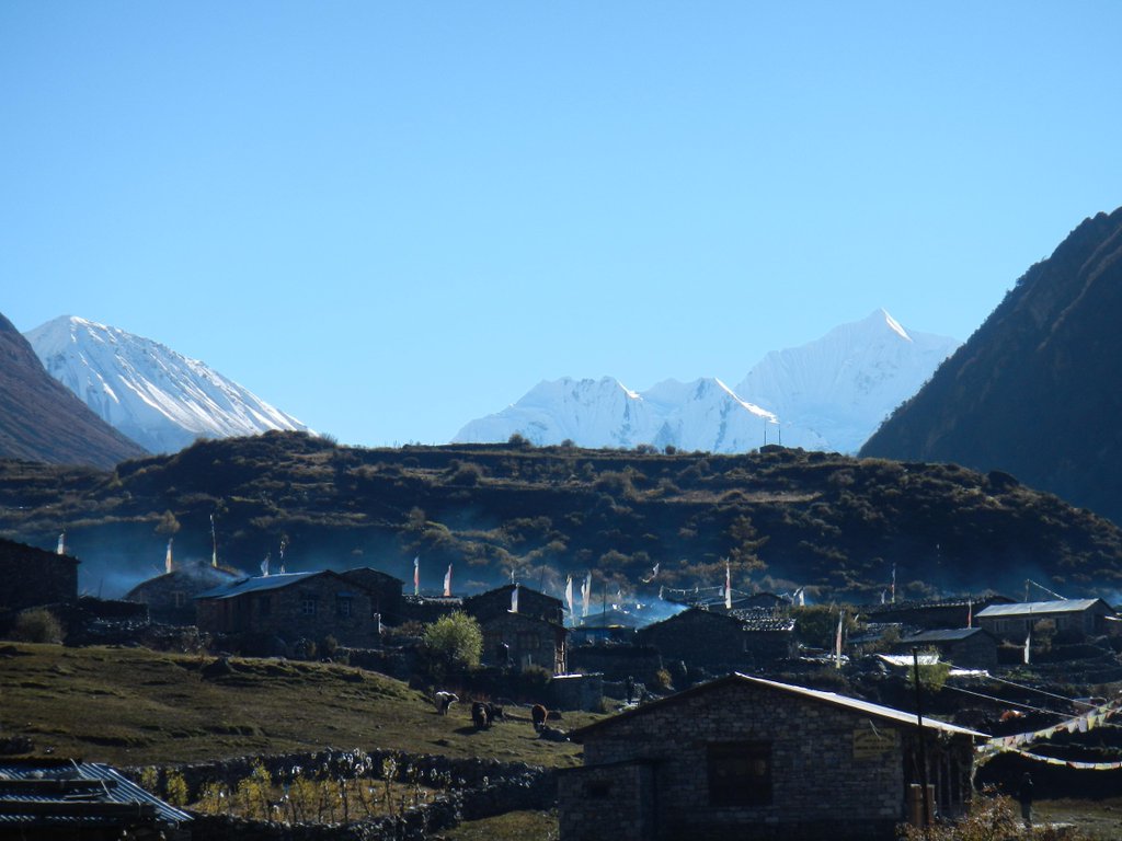
Some mountain villages were heavily damaged by the earthquake, including Langtang village – which many scientists have used as a base for research on the region’s glaciers and which was buried by an enormous rock and ice avalanche. Blocked roads and landslide-dammed rivers prevented access to remote locations.
The scientists’ research is published in Science. They say: “The total number of landslides was far fewer than generated by comparable earthquakes elsewhere…”, which they attribute to a lack of surface ruptures, the location of seismic action and the geological make-up of the region.
A major focus of their concerns was the possibility of outburst flooding caused by the impact of the earthquake on Nepal’s many glacier lakes. These have formed as a result of sustained glacial retreat, which has progressed rapidly in response to climate change.
However, the scientists found no evidence of glacier lake outburst floods which could have wreaked even greater destruction on the region.
All the experts are volunteers who came together rapidly in the week after the earthquake. Most have conducted research in Nepal previously and felt a need to contribute to the disaster response from abroad. As emergency relief and recovery operations were taking place, they were given access to a large pool of satellite data from NASA and the US Geological Survey as part of the one of the largest ever NASA-led data campaigns in a disaster zone.
They analysed the data to locate the site of potential geohazards, particularly those that affected local populations, due to landslides and avalanches.
The scientists mapped 4,312 co-seismic and post-seismic landslides. The mapping shows a strong link between landslide distribution and the steepness of mountain slopes combined with the intensity of ground shaking. While slight earthquake shaking affected ice, snow and glacial debris hanging on steep slopes, moderate to strong shaking affected loose sediment deposited in low-sloping river valleys. The scientists found that in Langtang Valley a combination of earthquake-induced landslides and air blasts brought some of the most concentrated destruction and losses of life outside the Kathmandu Valley rather than direct shaking from the earthquake.
The scientists assessed the stability of 491 glacier lakes to check for potential earthquake-induced outburst floods. They found only nine had been affected by the earthquake, which they attributed to lower shaking magnitudes in the valley-bottoms. In one or two cases they were able to alert policymakers to potential dangers so they could assess the hazards on the ground and take preventive action if necessary.
Evan Miles [2012] is the only co-author from the UK. He is a Gates Cambridge Scholar doing a PhD at the Scott Polar Research Institute at the University of Cambridge. He had been due to travel to Nepal to conduct field work the day after the earthquake occurred.
Evan, who has spent considerable amounts of time in Langtang Village in 2013 and 2014 for his research, helped to map some of the 4,300 landslides related to the earthquake. He says: “Knowing where the landslides are is very useful for policymakers to be able to assess ongoing hazards and plan rebuilding. Although there have been other disasters where experts have come together voluntarily to assess the impact, this is probably the fastest, most coordinated response to date. It will serve us well for similar future events of this magnitude.”
*Picture credit: Langtang Village in October 2013